The Smokies from near Taig an Drama Day 6 - Gold Beach to San Francisco
October 24, 2019
Thursday evening, San Francisco, CA

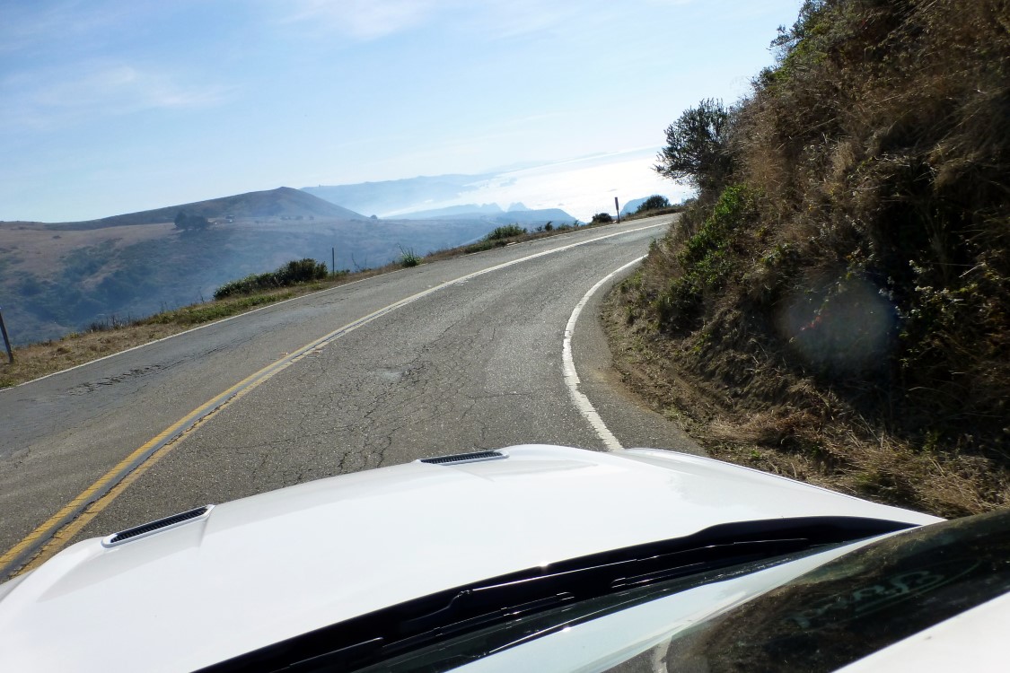
We once again arose to blue skies and low temps. It would not stay that way. Oh, the blue skies were with us all day (except when it was obscured by the smoke of the Kincaid fire). But the temp steadily rose as we traveled south hitting a high of about 92° mid afternoon. Leaving Fort Bragg, our route would take us down CA1 along the coastal cliffs ranging up to 600ft above the sea below. As the elevation rose, so did the temp. It was fortunate that I was driving for, had I have been on the passenger (cliff) side, I think my acrophobia might have had the best of me.
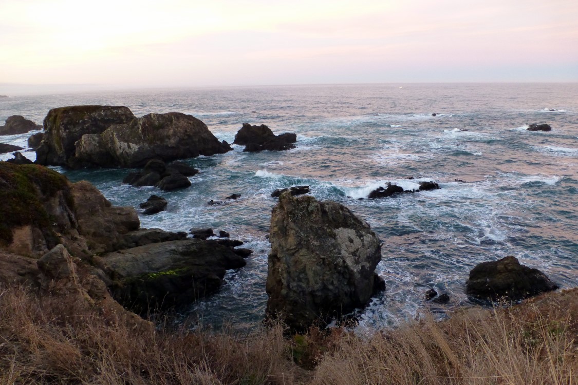
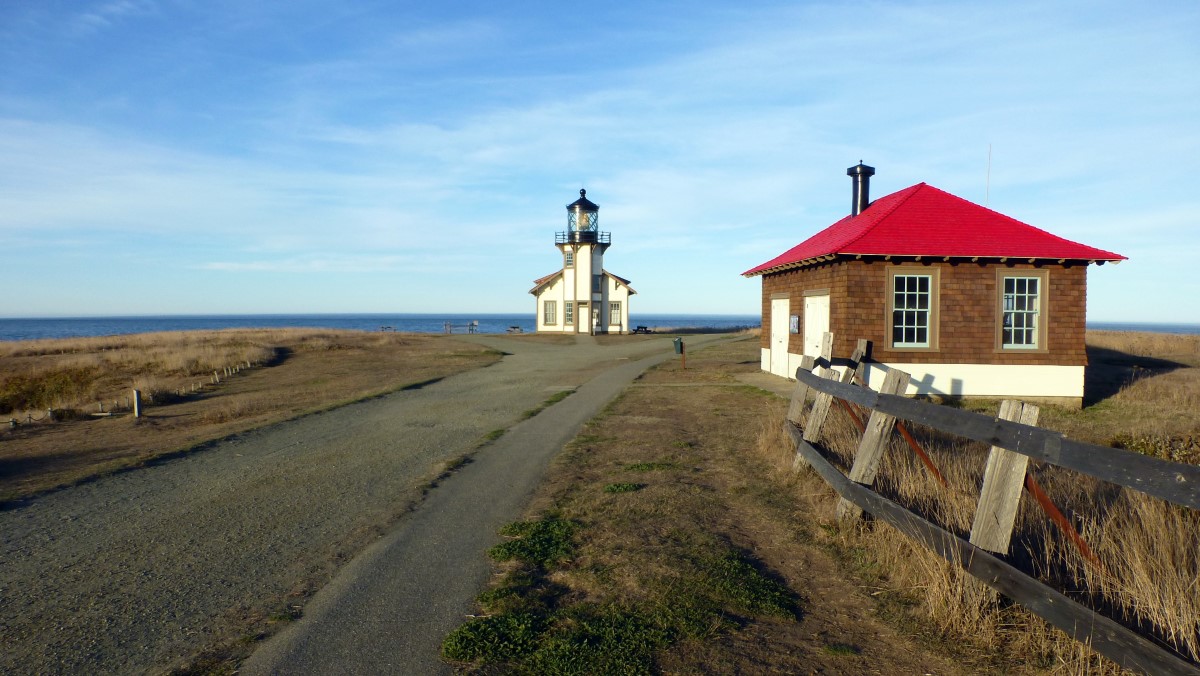
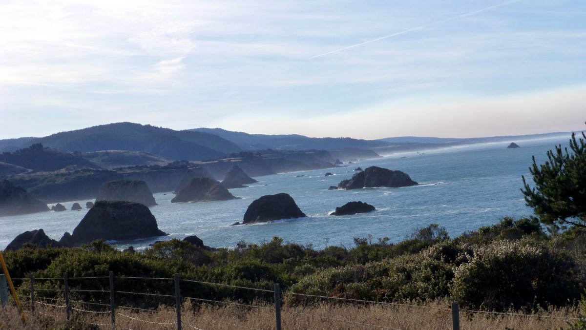
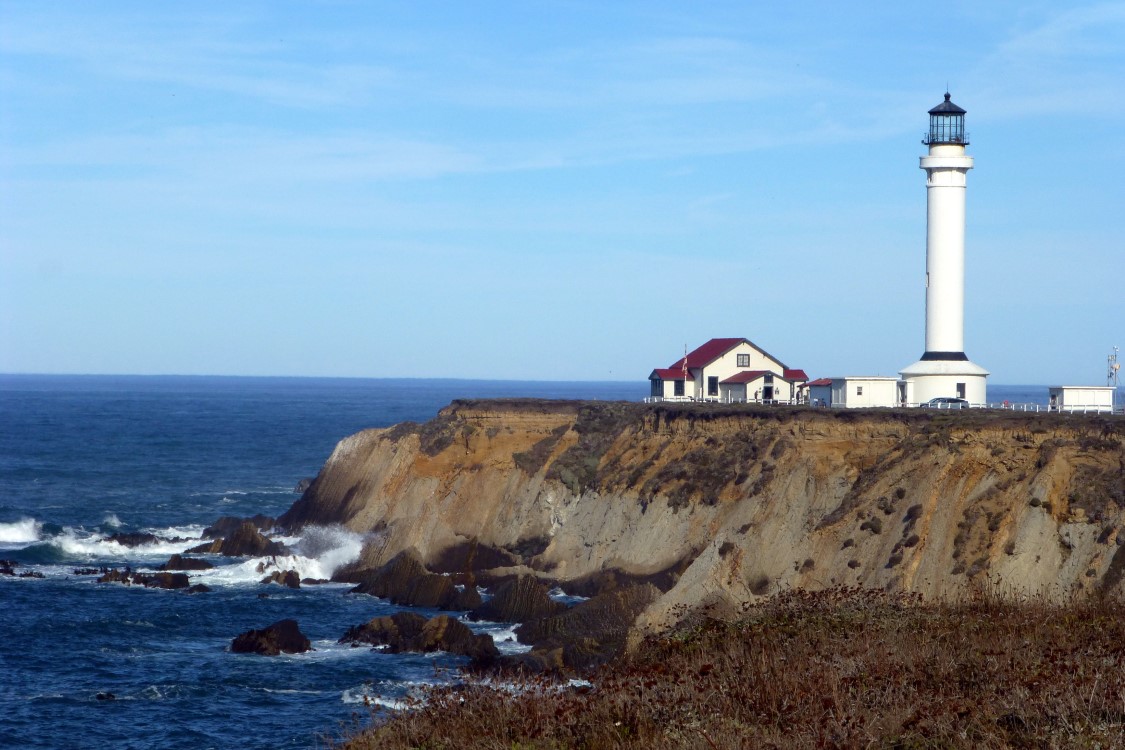
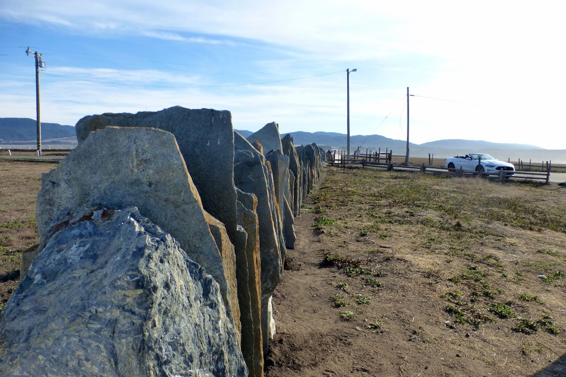
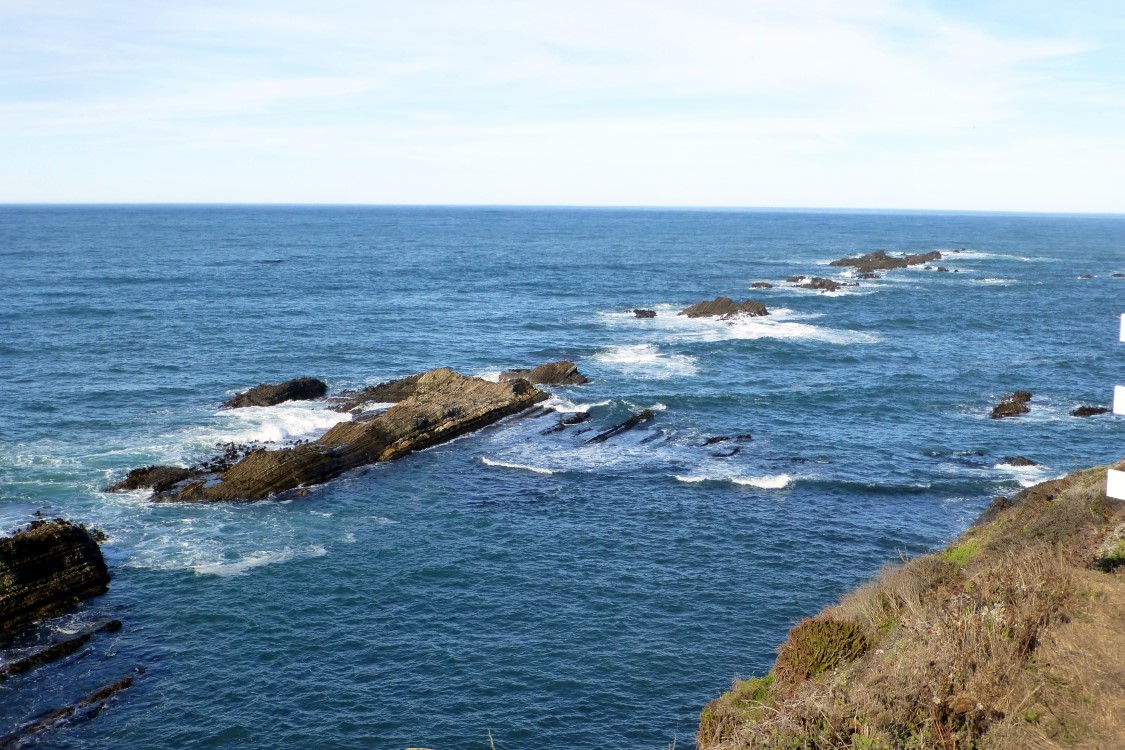
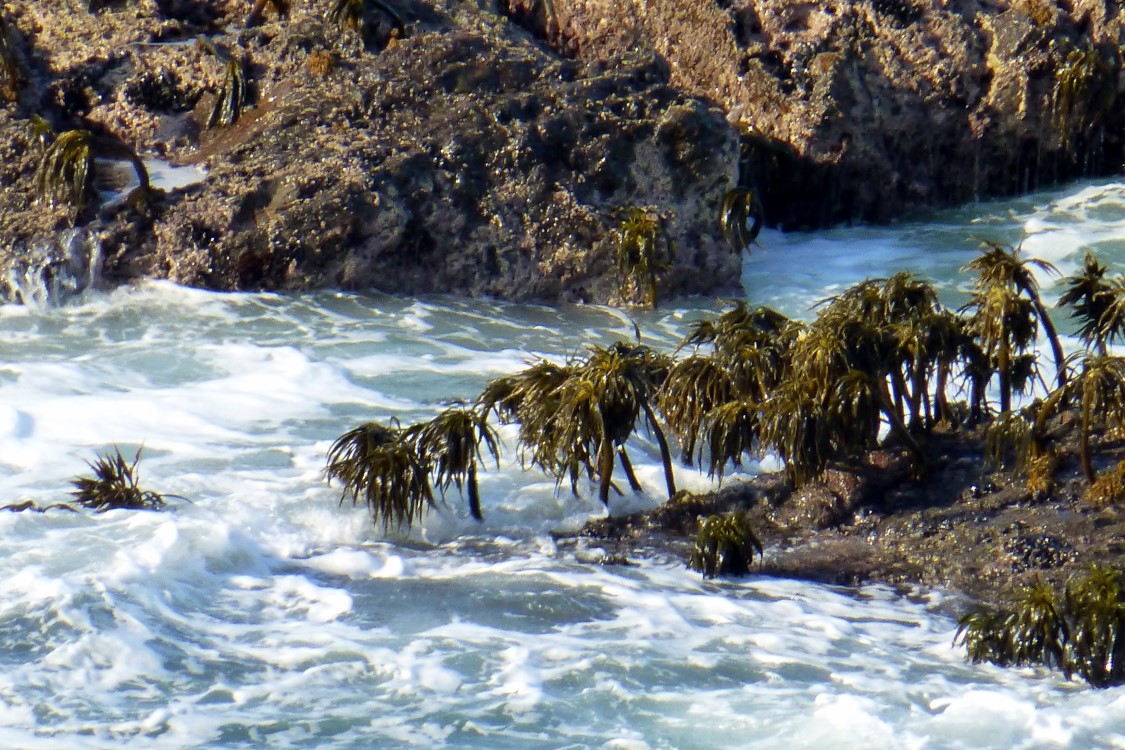
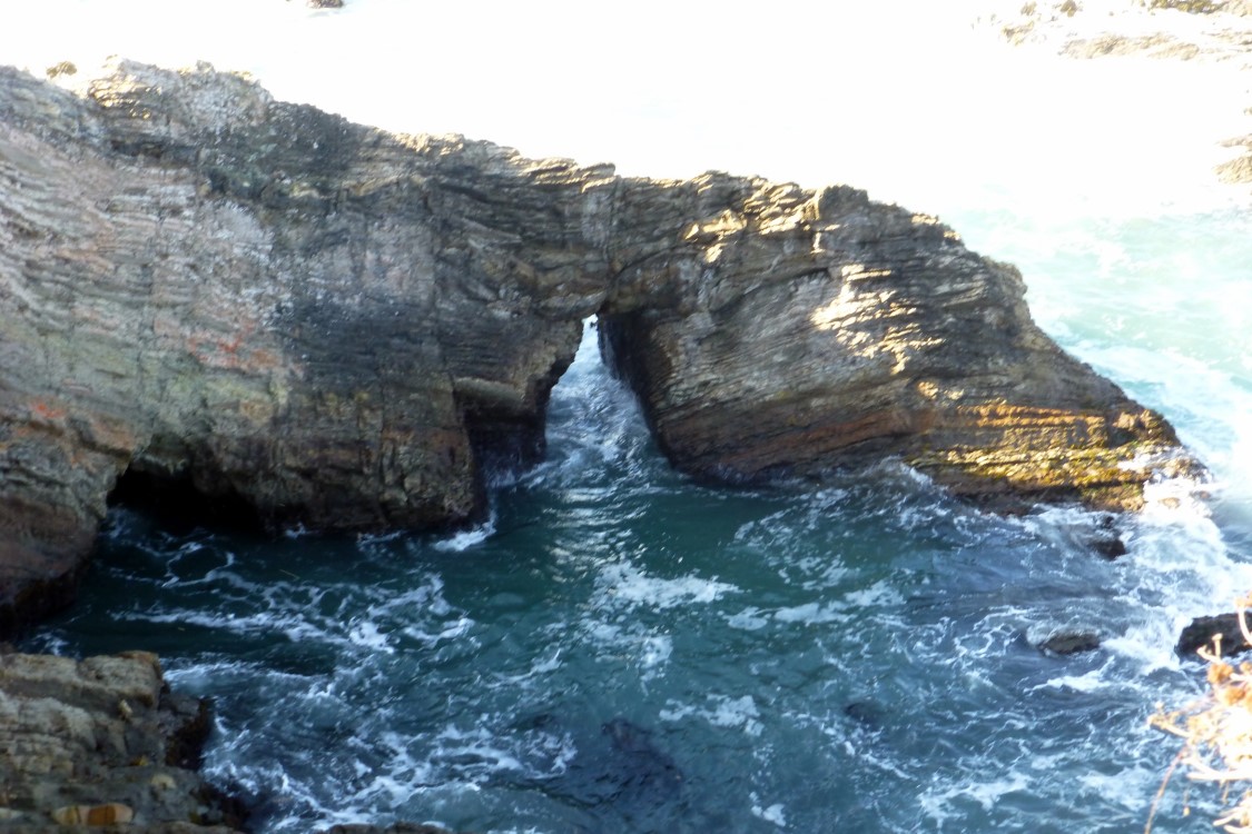
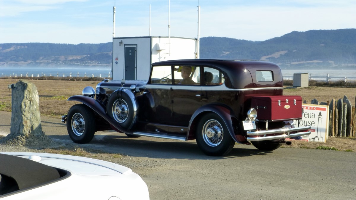
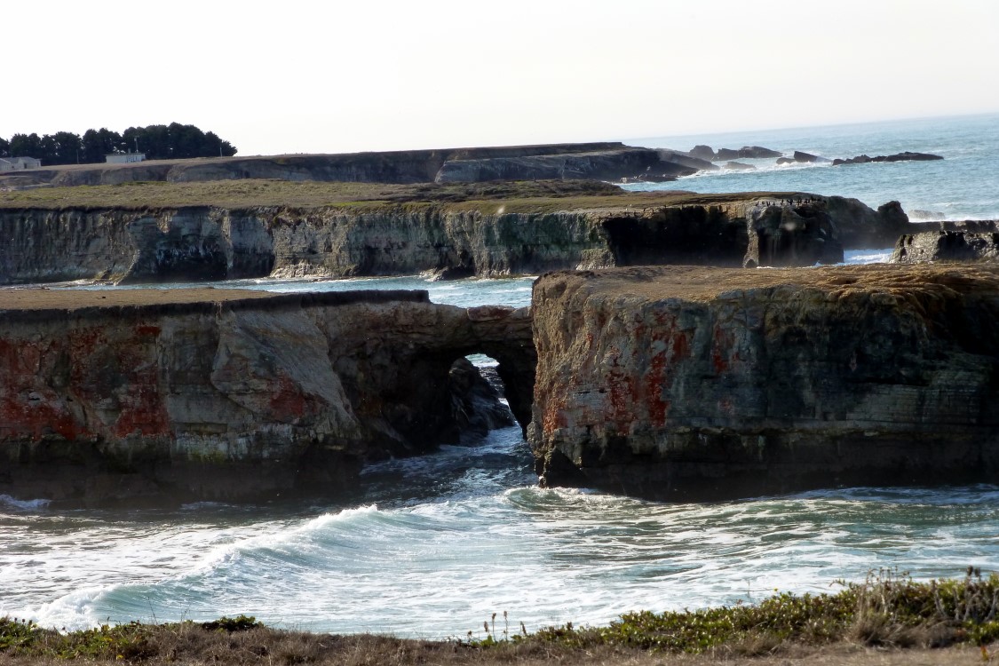
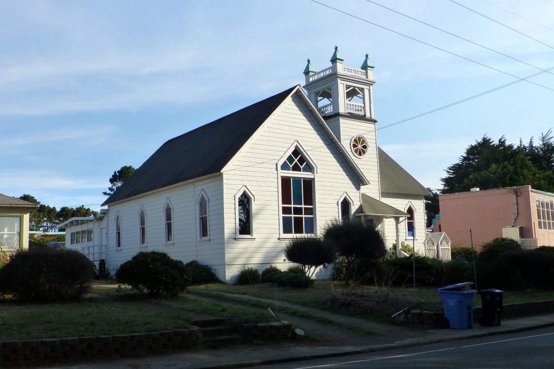
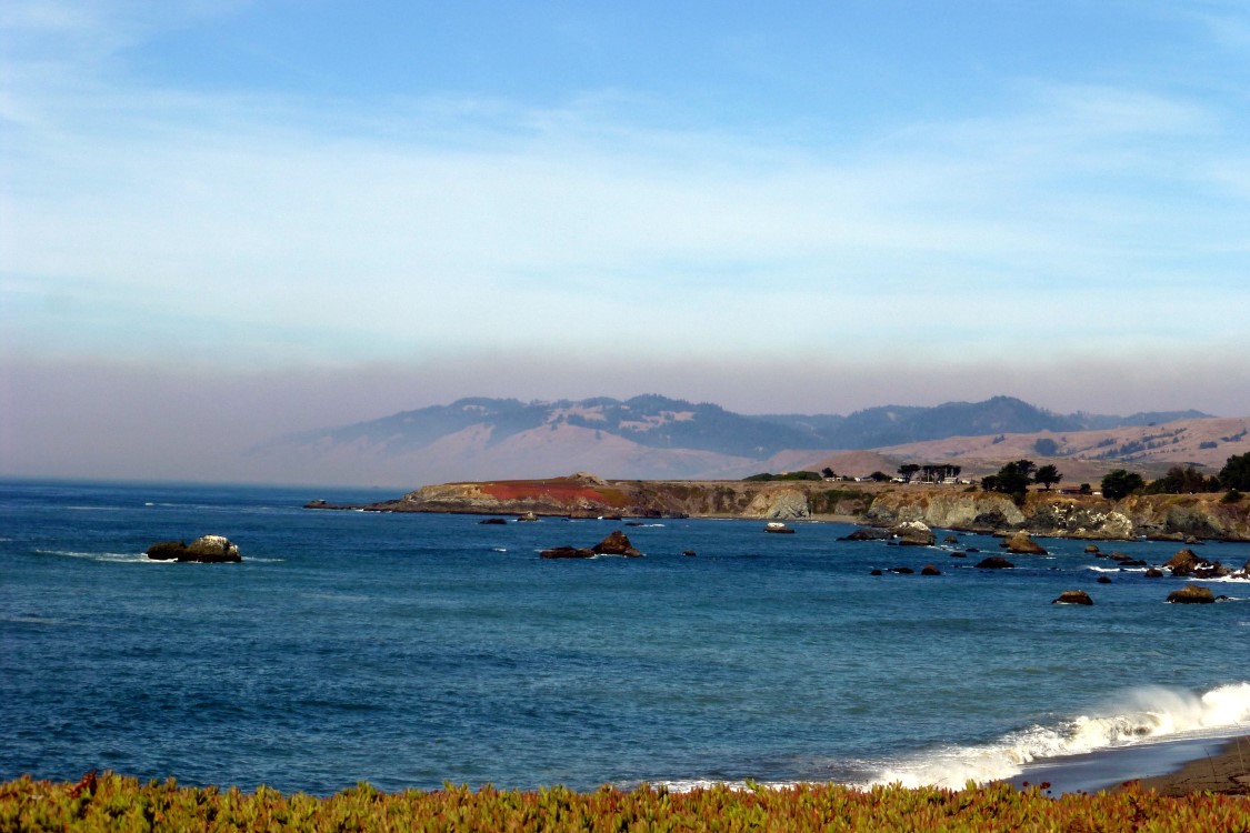
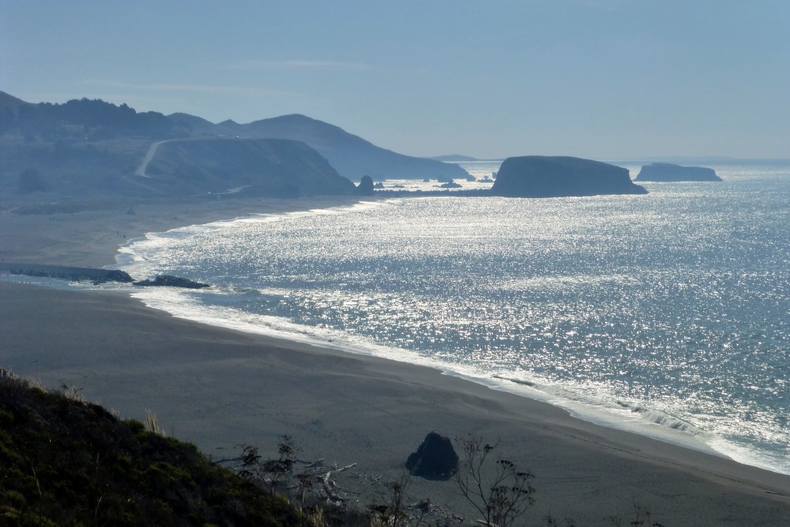
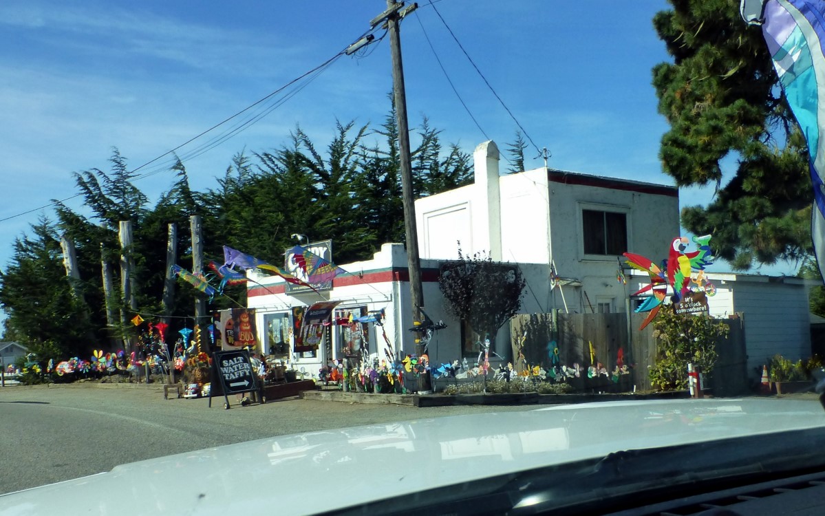
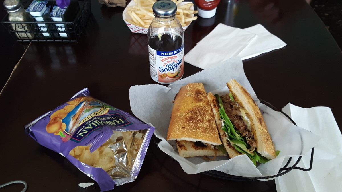
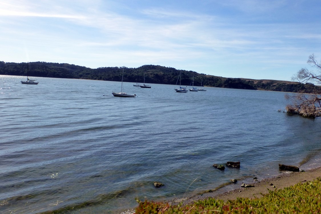
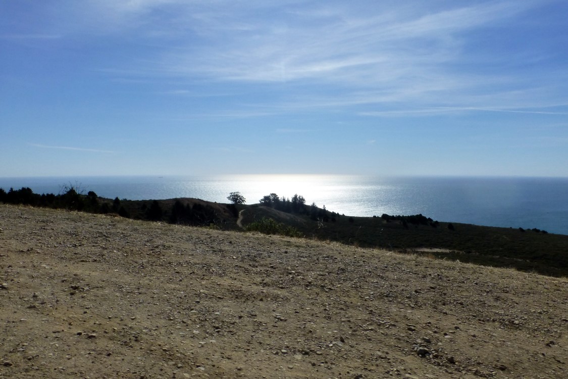
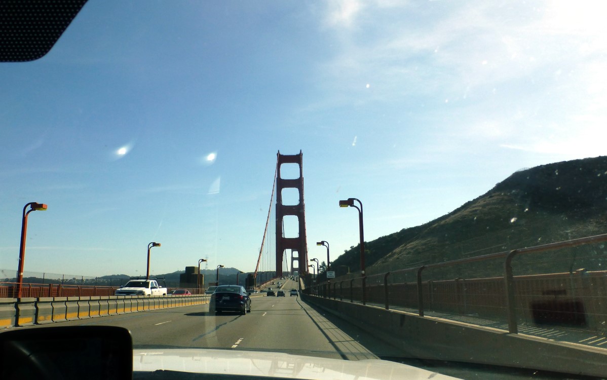
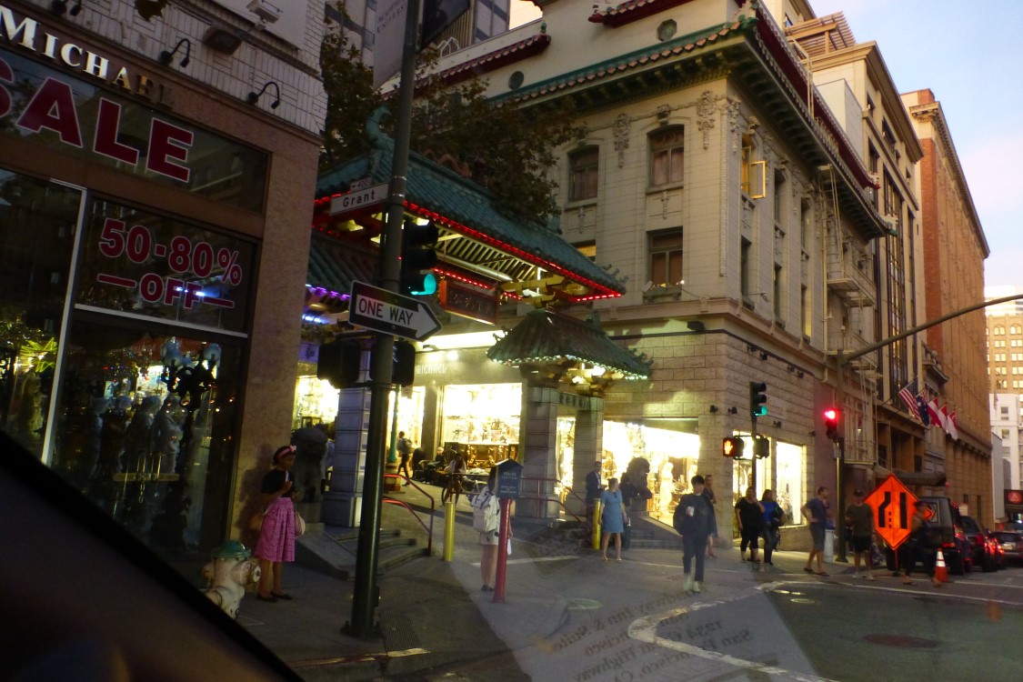
We picked up breakfast at Micky Dees and came back to Todds Point for breakfast. Point Cabrillo Lighthouse just south of Fort Bragg. First lit in 1909 and then automated in 1973, it is still in operation today. A view of the coast as we continue south on CA1. The Port Arena Lighthouse was lit in 1908. However, another lighthouse stood here from 1870 until it was demolished by an earthquake in 1906. The Port Arena Lighthouse fence is constructed of vertical slabs of slate. In the long rock in the foreground, you can see some small dark objects that look like birds. Zooming in, they appear to be one foot high palm trees. Still not sure what they are. Just thought this looked cool. We came across this old Bently circa 1935. Later we would find ourselves behind it in the stretch of cliff side road along the ocean. Then we would cuss its slowness. I was struck by the thought of why are these outcroppings so flat? St Paul’s UMC in Port Arena, CA At this point we were 600’ above the sea! You can see that much of this stretch of highway had no guardrails, not even an earth berm to keep us from going over the edge. These sights gave me goose bumps on top of my goose bumbs. About a mile and a half latter we had plunged almost to sea level as we crossed the Russian Gulch Creek. And the temp plunged probably 10-<wbr>20°. These were the highest cliff side roads that we drove. We stopped to look back at the switch back road we had traversed. The stretch was along the mountains peeking between the smoke layers. We saw the smoke from the Kincade fire being blown out to sea. This time of year, the Santa Anna winds come blowing hot off of the mountains from east to west, thus blowing the smoke towards us. Another stretch of beach and rocks. Here’s another roadside shop. Salt Water Taffy? This could be somewhere near the Gulf Coast or even in the Smokies. We had lunch at the Tamales Deli + Cafe in Tamales, CA. To my chagrin, tamales were not on the menu. I settled for an excellent pork carnita on ciabatta bread with a bag of Hawaiian chips and a diet peach Snapple. (Mexican carnitas, Italian ciabatta, Georgia Snapple and Hawaiian chips -<wbr> now that’s an international combo worth photographing.) Some oyster boats on Tamales Bay. As we neared San Fran, I caught this scene with the sun sparkling off of the ocean. Approaching the Golden Gate Bridge north of San Fran. A not very good photo of the Dragon’s Gate entrance to Chinatown in San Fran on our way to dinner.
To Day 7